Feedback sought on North East Link urban design and landscape plan
Share this article

Feedback is being sought on an Urban Design and Landscape Plan (UDLP) for Victoria’s largest road project, the North East Link.
An interactive online map allows users to view map designs for the North East Link Tunnels from Watsonia to Bulleen, including new parklands, wetlands, walking and cycling paths, improvements to local roads, and connecting Eastern Freeway upgrades in Bulleen and Balwyn North.
The map also allows users to see how community feedback to date has already helped shape the project’s design, including the incorporation of longer tunnels, the simplification of interchange designs, and the inclusion of significant public spaces and recreational facilities.
Members of the community providing feedback are especially asked to consider:
- designs for new and returned parklands and open space, including facilities such as play, BBQ, and picnic areas, and their potential locations
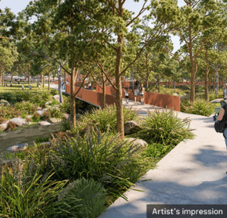
- landscaping, including waterways and new trees and plants, and how they fit with your local area and environment
- the look and feel of architectural elements, including colours and treatments, and how they fit with your local area
- local walking and cycling connections and how you’ll be able to move about your local area
- upgrades and changes to local roads and how you’ll be able to move about your local area.
Submissions are open until 31 May.
View further details and make a submission here